
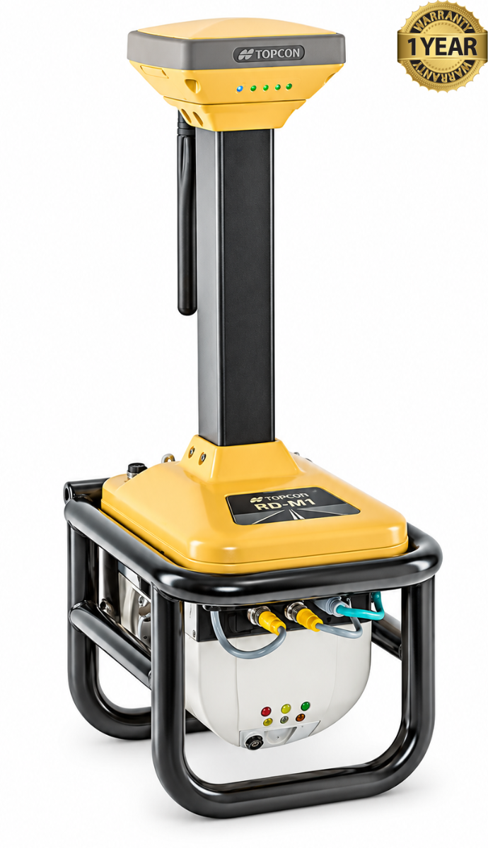

Topcon RD-M1 Road Scanner
Condition: Refurbished / Calibrated
Warranty: 1 YEAR WARRANTY
Shipping: USA & Worldwide
|
* Topcon RD-M1 Road Scanner (BC# -L/T*) |
Topcon RD-M1 Road Scanner
The Topcon RD-M1 is a vehicle-mounted road scanner designed to measure existing pavement before resurfacing work begins. Its downward-facing laser scanner collects detailed 3D points as the vehicle travels along the road, creating a record of the surface shape.
The RD-M1 can survey long stretches of roadway while moving with traffic. This allows crews to collect measurements from inside the vehicle and can reduce the need for lane closures during the survey. The scanner captures data at up to 100 scans per second, helping it document changes in the road surface along the route.
An integrated GNSS receiver and inertial measurement unit help position the measurements as the vehicle moves. The collected data is time-stamped and processed into a 3D point cloud, which engineers can use to examine the road’s existing elevation and profile.
For resurfacing projects, that surface model helps planners determine where pavement needs to be milled or where new material needs to be placed. It supports more informed estimates of material quantities and helps teams develop a design that addresses the road’s actual condition.
The RD-M1 fits into Topcon’s SmoothRide workflow. Its survey data can be used in Topcon resurfacing software to create road designs that guide automated milling and paving equipment. By measuring the road before construction, the system helps crews plan the work and check the intended finished surface.
Features:
- Vehicle-mounted, downward-facing LiDAR scanner for measuring road surfaces.
- Collects 3D point data while driving with traffic, reducing the need for lane closures.
- Scans at up to 100 times per second.
- Uses an integrated GNSS receiver and inertial measurement unit (IMU) to position measurements.
- Automatically time-stamps and stores data for point-cloud generation.
- Supports planning of milling depths, paving thickness, and material quantities.
- Works with Topcon resurfacing software and the SmoothRide milling and paving workflow.
- Designed for installation and removal from a survey vehicle.
- IP66-rated housing for dust and water protection.
| Specification | Topcon RD-M1 |
|---|---|
| Product type | Vehicle-mounted road resurfacing scanner |
| Scanning method | Downward-facing laser scanner |
| Scan rate | Up to 100 scans per second |
| Point collection rate | 28,500 points per second |
| Scan spacing at 40 mph | Approximately 0.6 ft (0.18 m) |
| Intensity levels | 255 |
| Positioning | HiPer SR GNSS receiver and inertial measurement unit (IMU) |
| Data output | Time-stamped 3D point data for point-cloud generation |
| Elevation accuracy, curved road | <10 mm, 1 sigma, under Topcon’s stated test conditions |
| Elevation accuracy, straight road | <5 mm, 2 sigma, under Topcon’s stated test conditions |
| Supply voltage | 9–32 VDC |
| Operating current | 3 A |
| Surge current | 7.5 A |
| Housing | Powder-coated cast aluminum |
| Weight | 12.5 kg (27.6 lb) |
| Dust and water rating | IP66 |
| Design workflow | MAGNET Office Site with Resurfacing; Topcon SmoothRide |