
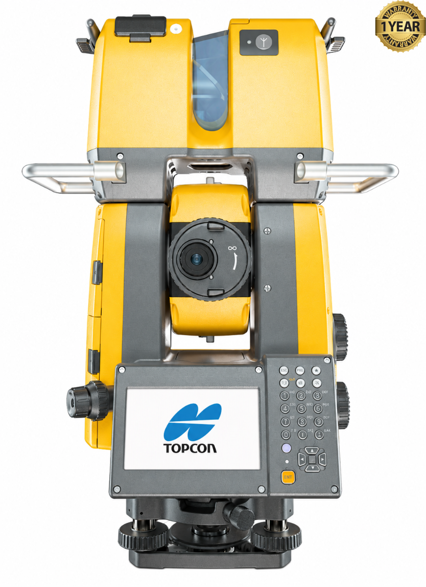

Topcon GTL-1203 Robotic Scanning Total Station
Condition: Refurbished / Calibrated
Warranty: 1 YEAR WARRANTY
Shipping: USA & Worldwide
|
* Topcon GTL-1203 Robotic Scanning Total Station (BC# L/T*) |
Topcon GTL-1203 Robotic Scanning Total Station
The Topcon GTL-1203 is a robotic total station and 3D laser scanner combined in one surveying instrument. It is designed for construction layout, site measurement, and recording the shape of existing structures. By performing both precise point measurements and laser scans from the same setup, it helps crews connect design work with what has been built on site.
As a total station, the GTL-1203 measures angles and distances to establish positions, stake out design points, and check construction work. Its robotic auto-pointing and auto-tracking functions allow it to find and follow a prism, supporting survey and layout tasks with a field operator.
As a scanner, the instrument captures large numbers of measurements across the surrounding area and turns them into a 3D point cloud. Topcon specifies a scanning rate of up to 200,000 points per second. The resulting data can document structures, surfaces, and site conditions in much more detail than individual survey points alone.
The GTL-1203 is particularly useful for construction verification. A crew can lay out work using the total station, scan the completed area, and compare the captured conditions with project plans or a building information model. Scanning from a position tied to survey control also makes the point cloud easier to place within the project’s coordinate system.
By combining layout and reality capture, the GTL-1203 reduces the need to set up separate surveying and scanning instruments for these tasks. It suits surveyors and construction teams that need both precise control points and a detailed 3D record of work as it progresses.
Features:
- Robotic total station and 3D laser scanner in one instrument
- 3″ angular accuracy for surveying and construction layout
- Automatic prism pointing and tracking
- Reflectorless distance measurement for points where a prism cannot be placed
- Scanning at up to 200,000 points per second
- Scan range of 0.6 to 70 m
- Wide-area scanning, up to 360° horizontally and 270° vertically
- Point clouds that can be tied to survey control for construction verification
- Onboard MAGNET Field software for field workflows
- Built-in camera and color touch display
| Specification | Topcon GTL-1203 |
|---|---|
| Instrument type | Robotic total station and 3D laser scanner |
| Angle measurement accuracy | 3″ |
| Telescope magnification | 30× |
| Automatic pointing and tracking | Yes |
| Reflectorless total station range | 0.3 to 800 m under specified conditions |
| Prism total station range | Up to 5,000 m with Prism-2 under specified conditions |
| Distance accuracy with prism | ±(1 mm + 2 ppm × distance) |
| Distance accuracy, reflectorless | ±(2 mm + 2 ppm × distance), subject to target and range conditions |
| Maximum scanning rate | 200,000 points per second |
| Scanner measurement range | 0.6 to 70 m |
| Scanner field of view | 360° horizontal × 270° vertical, maximum |
| Scanner distance accuracy | 4 mm at 10 m; 6 mm at 20 m; 8 mm at 30 m |
| Scan point spacing at 10 m | 5.5 mm super fine; 11 mm fine; 22 mm standard |
| Scanner laser wavelength | 870 nm |
| Built-in camera | 5 megapixels |
| Display | 4.3-inch color touch screen |
| Internal memory | 1 GB, including program storage |
| Removable storage | SD card; USB flash drive support |
| Wireless communication | Bluetooth; Wi-Fi availability may vary by region |
| Dust and water resistance | IP54 |
| Operating temperature | −10 °C to 50 °C |
| Dimensions (W × D × H) | 282 × 180.7 × 428 mm |
| Weight | 7.07 kg, excluding battery |
| Battery | BDC72 rechargeable lithium-ion |
| Approximate battery operation | 1.3 hours; varies with use and conditions |