
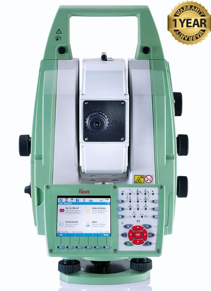

Leica MS50 1" R2000 Robotic Scanning Total Station
Condition: Used
Warranty: 1 YEAR WARRANTY
Shipping: USA & Worldwide
|
* Leica MS50 1" R2000 Robotic Scanning Total Station (BC# -L/T*) |
Leica MS50 1" R2000 Robotic Scanning Total Station
The Leica Nova MS50 integrates 3D point cloud measurements into a regular survey workflow. This lets you collect and visualize your topographic survey data together with detailed high-precision scans. Save time by checking your data for integrity and relevance and avoid costly reworking or returns to the field. Benefit from better decisions with richer and more detailed data.
The Leica Nova MS50 provides proven total station functionality with superior sensor integration for highest precision, performance and full automation of measurement procedures. Together with the benefits of GNSS connectivity, the Leica Nova MS50 offers complete versatility by delivering reliable results wherever and whenever you need them.
The Leica Nova MS50 features an overview camera and a telescope camera with 30x magnification and autofocus. State-of-the art image processing technology delivers live fluid video streaming of highest image quality. The imaging capabilities of the Leica Nova MS50 open up new opportunities of operating the MultiStation in an almost infinite range of applications.
Features
- Angular Accuracy: 1-second (1")
- EDM Range (PinPoint R2000): Up to 2,000 meters to any surface (reflectorless) and at least 10,000 meters to a single prism
- Scanning Speed: High-speed 3D point cloud measurement integrated directly into standard survey workflows
- Cameras: Dual 5-megapixel cameras featuring an overview camera and a telescope camera with 30x magnification and autofocus
- Software: Powered by onboard SmartWorx Viva field software
- Environmental Rating: IP65 dust and water resistance, meeting MIL standards for blowing rain
Specifications
|
ANGLE MEASUREMENT |
|
|
Accuracy 1 Hz and V |
Absolute, continuous, quadruple |
|
DISTANCE MEASUREMENT |
|
|
Range |
Prism (GPR1, GPH1P): 1.5 m to 3500 m |
|
Accuracy / Measurement time |
Single (prism): 0.6 mm + 1 ppm/ typ. 2.4 s |
|
Laser dot size at 50m |
8 mm x 20 mm |
|
Measurement technology |
System Analyzer |
|
IMAGING |
|
|
Overview and telescope camera |
Sensor: 5 Mpixel CMOS sensor |
|
LONG RANGE AUTOMATIC AIMING |
|
|
Range ATR mode |
Circular prism (GPR1, GPH1P): 3000 m |
|
Accuracy / Measurement time |
ATR angle accuracy Hz, V 0.5" (0.15 mgon) or 1" (0.3 mgon) / typ. 3-4 s |
|
GENERAL |
|
|
Magnification / Focus Range |
30 x/1.7 m to infinity |
|
Display and Keyboard |
VGA, colour, touch, Face 1 standard |
|
Operation |
3x endless drives, 1x Servofocus drive, 2x Autofocus keys, User-definable SmartKey |
|
Power Management |
Exchangeable Lithium-lon battery with internal charging capability. Operating Time: 7-9 h |
|
Data storage |
Internal memory: 1 GB |
|
Interfaces |
RS232, USB, Bluetooth, WLAN |
|
ENVIRONMENTAL |
|
|
Working temperature range |
-20°C to +50°C |
|
Dust & Water (IEC60529) / Blowing rain |
IP65/MIL-STD-810G. Method 506.5-1 |
|
Humidity |
95%, non-condensing |